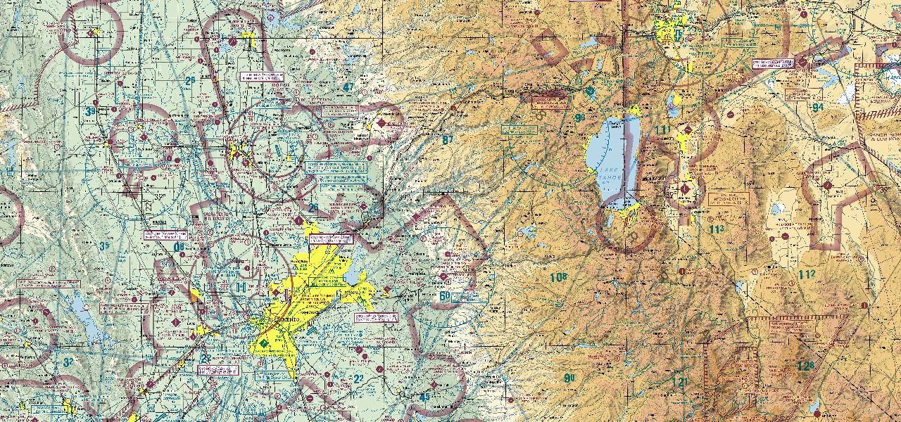
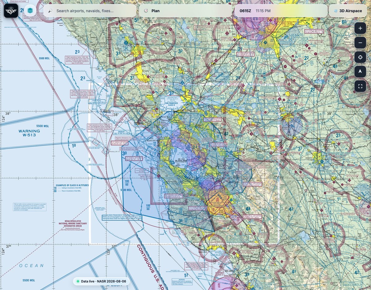
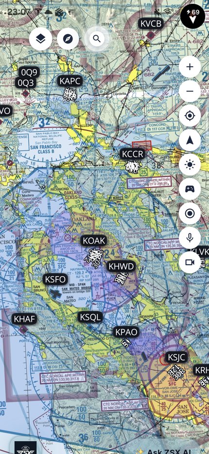
Charts, plates, weather and planning in one place — with a copilot that listens on the radio
and a debrief that writes itself. Same app on every screen.
Photos and video from inside the app — stamped with position, altitude and
time, and filed against the flight you're on. Front and rear at once for the panel and
the view.
Stamp
GPS
Audio
Mic
Goes to
Notes
Debrief · replay
00:41:12 / 01:02:30
1×18:41:12Z
🛩↺⛰🛬
Video
Audio
Fly it again on the ground.
Scrub the track with video and radio audio in sync.
Takeoff, turns, max altitude and landing are marked for you. Send it to your CFI.
Alt
8 500
GS
118 kt
VS
+480
Max bank
34°
Ldg
2
IFR
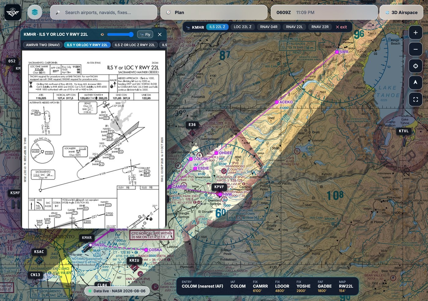
The plate on the chart — and the procedure drawn on the map.
Open any d-TPP plate as an overlay with a transparency slider, switch between the
airport's charts without closing it, then press 🛬 Fly and the
instrument approach is drawn natively on the chart from CIFP data.
KMHR · ILS Y RWY 22LApproach mode
ENTRY COLOMFAF GADBE 1800'MAP RW22L 154' live GPS
Plate overlay
Drag it, resize it, fade it from 15% to 100% so you keep the terrain underneath. Switch
charts without closing it.
Approach mode · 🛬 Fly
Every transition, the final with per-leg minimums, and the missed — drawn from CIFP and
auto-fit, with the clutter dimmed.
Live entry & HUD
It picks your entry (nearest IAF, or vectors-to-final) and walks the legs with you as you
fly them.
Three platforms
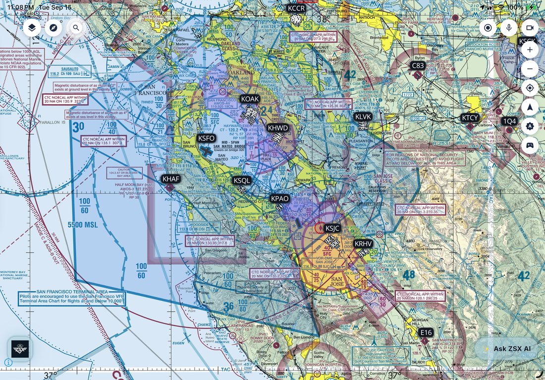
One app. Same features on web, iOS and Android.
Not a desktop app with cut-down companions. Plan at the desk, brief on the pad, fly with the
phone — it all syncs, and what you downloaded still works with no signal.
Web
iPhone & iPad
Android
Web
iPad Pro
Galaxy Z Fold
One data platform
Everything a flight needs — actually joined up.
The planner knows the weather. The assistant knows your route. The lesson knows what you
flew.
Charts & plates
VFR, IFR and TAC plus approach plates and airport diagrams — downloadable, sharp offline.
Weather
METAR, TAF, MOS and winds aloft in plain English, with nearby stations when your field is silent.
ZSX AI
Reads the same data the map draws from, and cites product, edition and timestamp.
Planning & routes
Drag the course line, drop a fix anywhere, get an ICAO nav log with winds and legal altitudes.
Pilot buddy
Own-ship, traffic and terrain awareness — plus live transcribe on a busy frequency.
Lessons & debrief
Training that follows your real flights — replay, maneuvers, endorsements and 8710.
The difference
An assistant that reads your charts — not a chatbot bolted on.
Ask one question instead of running six lookups. It shows its work every time.
Can I land at Truckee tonight?
Legal, but tight. KTRK sunset is 19:41 local; your ETA at
current groundspeed is 19:12 — 29 minutes of margin. TAF has BKN060 after 20:00Z,
above the 7 000 ft pattern altitude. Density altitude at 6 264 ft and 24 °C is
9 100 ft — plan the longer ground roll.
METARKTRK 0153Z TAF18:20Z NASR2026-08-06
Wired in, not bolted on
The assistant queries the same platform that renders the
map — airports, weather, airspace, plates, your aircraft and your logbook.
That's what lets it correlate. “Is the crosswind within limits at every alternate?” is one
question, not six.
AI · use case
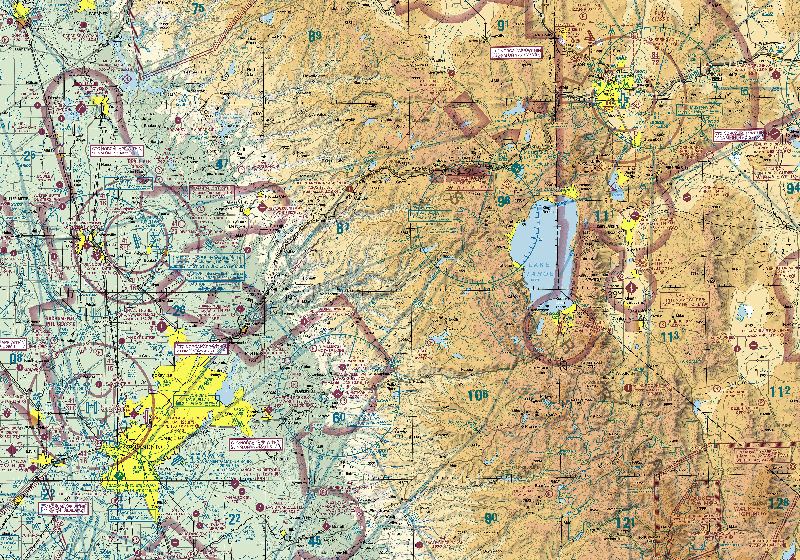
“Plan me an IFR flight to Reno tonight.”
It checks the weather, terrain, airspace and your aircraft, then draws the options on the map
and says which one it would file — and why.
A · SWR TRUCK B · Direct C · South
Plan me an IFR flight to Reno tonight in the Bonanza.
RecommendedA · SWR TRUCK118 NM · 0:48 · 11 000
Keeps you 3 400 ft above the highest terrain on the leg and north of the
SIGMET. Freezing level is 12 500 — you stay below it the whole way.
MEA 9 000Terrain +3 400No iceKRNO VFR
CautionB · Direct104 NM · 0:43 · 13 000
14 NM shorter, but 13 000 puts you in the freezing level with an AIRMET ZULU
along the ridge — and the Bonanza has no known-ice approval.
AIRMET ZULUFRZLVL 12 500
AlternateC · South via JACII131 NM · 0:56 · 9 000
Lowest terrain and the best out if you need one — 13 NM longer. Worth it if the
ceiling at Reno drops below the 3 900 ft minimum.
Same engine that builds your nav log. File it with one tap.
Flight planning
A real nav log — with the AI sitting next to it.
Drag the course on the map or type it. Airways expand, altitudes check out legal against the
winds, and it files.
Route options
Direct, Preferred, TEC and CDR, sorted by time. See what the shortcut really saves.
ICAO nav log
Per-leg true and magnetic course, wind correction, groundspeed, ETE, fuel burn and
remaining distance — with TOC/TOD and checkpoints.
Legal altitudes
The hemispheric ladder annotated with the wind component and temperature at each level,
so the best altitude is obvious rather than guessed.
Waypoints, anything
Airports, navaids, fixes, VOR radial/distance, place-bearing-distance, or a bare GPS
coordinate dropped straight onto the map.
Winds & ETD
Set your ETD and the winds follow it — the nav log updates for when you'll actually be up.
AI assist
“Is there a better altitude?” “What changes if I leave an hour later?” It reads the same
nav log you're looking at and answers against it.
Logbook
Your hours, your currency, your paperwork.
A real logbook, not a flight list. Currency comes from the hours you've actually logged, and
the legal paperwork comes out the other end.
Currency, derived
61.57 day and night passenger currency, IFR currency and flight review — ring gauges with
days remaining, computed from your entries rather than typed in.
CFI endorsements
AC 61-65 templates with a signature canvas, immutable once signed. The only place
endorsements live, so they can't drift.
8710 & checkride
The 8710 form and Part-61 checkride progress generated from the same tables — you see
what's missing before the examiner does.
Tracks inside the entry
The recorded GPS track lives in the flight it belongs to, replayable in Debrief — not
stranded in a separate tab.
ForeFlight import
Bring your history with you. A real 612-flight export was the acceptance test for the
importer.
AI assist
“Am I night current for passengers?” “How many hours until the commercial minimums?”
It reads your logbook and answers.
Flight training
A syllabus that knows your aircraft — and your hours.
A real Part 61 program, not textbook links — built around the aircraft you fly, and gradeable
by your CFI.
Per-certificate syllabus
Ground and flight lessons with objectives, completion standards and the ACS references —
starting with the ZSX Private ASEL course.
Resolved to your aircraft
Lesson plans resolve against a specific tail: its speeds, its checklists, its W&B —
instead of a generic trainer.
CFI grading & audit
Share the program with an instructor for grading and a clean audit trail of what was
taught and when.
Readiness, enforced
Curriculum rules, currency and airworthiness checked together — “what's next and am I
ready” in one view.
AI tutor
Study the lesson with an assistant that has your POH, the ACS and your logbook — and can
quiz you on the parts you keep missing.
Verified instructors
ZSX verifies CFI certificates against the FAA — never instruction quality. You fly with
whom you judge best.
Aircraft
One record per tail — not four silos.
Registry, type data, weight & balance, maintenance and checklists on one record — so
nothing gets entered twice.
FAA registry identity
Look up the tail and it fills itself in from the FAA registry — make, model, serial,
airworthiness class.
TCDS-cited type data
Performance and limit defaults from a curated type library, cited to the type
certificate rather than guessed.
Weight & balance
Per-tail overrides on top of the type defaults, with the envelope plotted — and the
result available to the planner.
Maintenance logbooks
Engine, airframe and propeller — inspections, ADs, STCs and repairs, each on the aircraft
they belong to.
Checklists
Per-aircraft checklists that travel with the tail, usable in the cockpit on any
platform.
AI assist
“Is 34G out of annual?” “What's my useful load with full fuel and three aboard?” —
answered from this record.
Data
Every number traces back to an official source.
FAA and NOAA products, with the edition and time shown. If we can't source it, we don't show
it.
FAA charts, NASR & plates
NOAA / NWS weather
Traceable to edition & timestamp
Not for sole navigation — you're PIC
Preflight smarter tonight.
Charts, weather, planning and training in one place.
ZSX is an electronic flight bag for situational awareness and planning. It is
not certified for sole means of navigation. The pilot in command remains responsible for
the safe conduct of every flight.